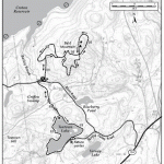
I’ve been doing short 1 to 1 1/2 hour hikes during the week, and wanted to get out for a longer hike and explore some of the larger parks in the area. I found the map (at left) for this hike on trails.com, in an excerpt from the book Best Hikes With Dogs: New York City & Beyond. Trails.com is a great resource, and basic membership is free.
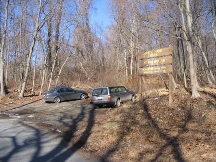
The parking area for John E Hand Park is on Blinn Rd, close to the intersection of the Taconic and Route 134, east of Ossinning. There is space for about three of four (if people are being considerate) cars to park in the pull-out. There was one other car when I arrived, and three when I left. I’m not sure where one would park if there was no space left, as there isn’t any convenient shoulder on Blinn Rd.
Mountain bikes are welcome in Hand Park, and the trails show it. It’s good that there are places where bikes are allowed, but it requires being extra alert as it would be no fun to come face-to-face with a speeding bicycle. There was one fellow packing up his bike as I arrived, but I saw no others.
It’s pretty clear that this park gets a lot of use, as compared to the sanctuary’s and preserves. The main trails are well-worn and pretty wide.
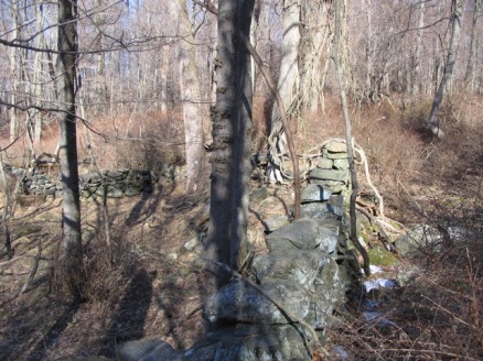
There are lots of stone walls and remnants of foundations scattered throughout the park.
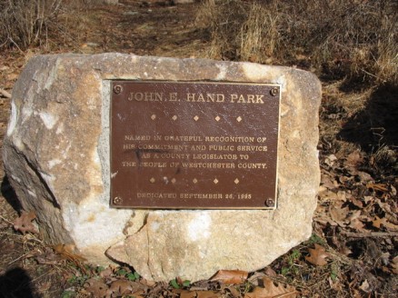
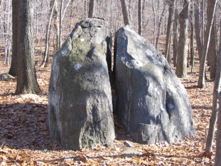
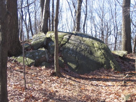
I came across this split rock that to me looked like a fish pushing its head out of the ground. Right?
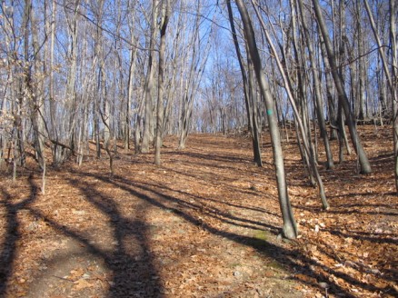
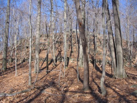
Following the green trail brings you up moderate hills towards the top of Bald Mountain. There are numerous unmarked trails peeling off in both directions which makes me excited to come back for some additional exploration. After a good thirty minute slog uphill the trail flattens out and you get a peek of the top of the mountain.
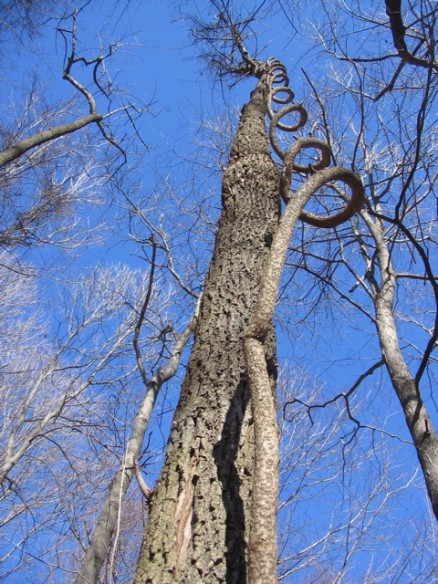
This is an odd sight: a vine that corkscrews up the side of a tree, but isn’t attached until the top. I wanted to hang on it and swing, but the tree didn’t look too healthy, and it’s not nice to do, either. Fun, though.
A reminder to always be aware of your surroundings, even above, as you never know what could happen.
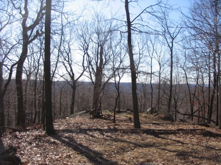
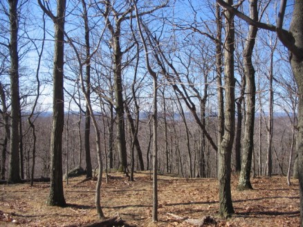
The pay-off at the top is somewhat-obstructed views on all sides. The trees, even with no leaves, leave little to see, though it’s still pretty nice. I stopped here for my coffee and homemade granola bar.
Heading back down I chose to take the alternate trails, following the arrows on the map. The trails here are narrower and wind through the woods. They are unmarked but the trail is very well-defined and easy to follow. I ran into a guy and his dog, from Croton. A very nice guy, Bill. He told me that there are quite a few bald eagles that live in the northern part of the park, near the Croton Reservoir, and that the own Lake Reservation hosted the “Hudson River Eagle Fest” the previous Saturday, with stations set up in various place along the Hudson for viewing the eagles. That would have been something. I’ll have to keep an eye to the sky and hopefully see some.
The batteries in my camera were running out, so I didn’t take any more pictures until I began the walk to Teatown Lake, part of the Teatown Lake Reservation. I followed unmarked trails through the lower part of the park, and reconnected with the green trail just north of the parking area. The trail that takes you to Teatown Lake is just down Blinn Rd past the bridge, on the left.
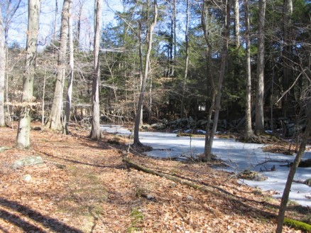
The trail follows the outlet stream that flows to the Croton Reservoir. It’s an easy, flat trail, that gets a bit squishy in places.
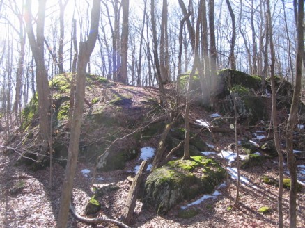
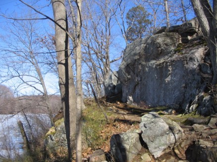
Several large mossy rock outcroppings dot the trail.
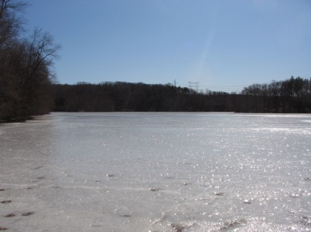
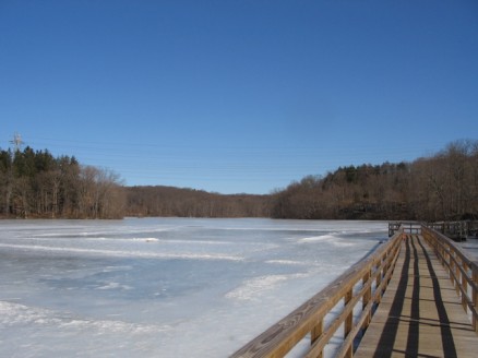
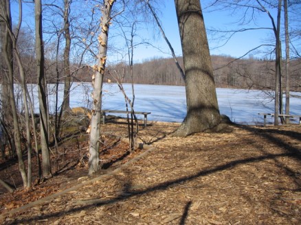
Teatown Lake was one big icy expanse when I climbed the rocks of the earthen dam.
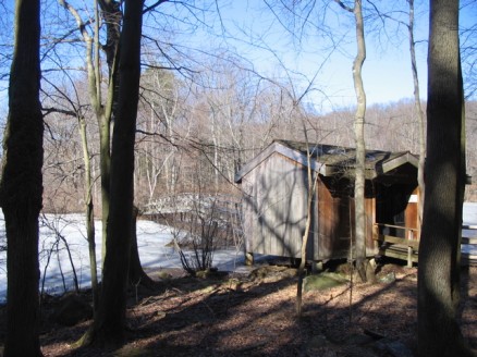
The trail that loops around the lake is very easy-going, and there were quite a few people out enjoying the nice weather. At the northeaster corner of the lake is a boardwalk. I’m not really sure why it’s here, other than to keep people from walking on the road. It runs only about 200 to 300 feet.
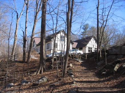
I had heard of the Teatown Reservation, but had no idea of its size until I picked up a map in the education center. The woman working in the shop at the education center wasn’t very helpful or enthusiastic, nor particularly friendly, and had to be prodded to offer any information about the reservation. I picked up a map ($2), took their newsletter, and made a note to look into this place more in the near future.
The trail around the lake is part of a 15 mile network of trails that run throughout the reservation. The Briarcliff/Peekskill Trail, which is a 12 mile train that takes you from Ossinning to the Blue Mountain Reservation in Peekskill, runs through the middle of it. Definitely something I’m going to have to checkout.
There’s a lot to explore here at the Teatown Lake Reservation, though it does seem to be almost overly maintained, I’m hoping some of the more remote areas offer a bit more of an unmanicured experience.
I followed the trail I came in on, and got back to the Hand parking area. I’m not sure of the distance I covered, but it must have been about 5 miles. A great hike, in great weather, and a new perspective on the area. I’ll leave you with some additional photos.
