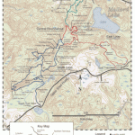
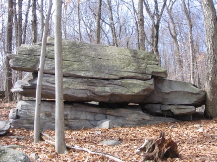
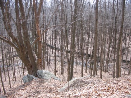
The Westchester Wilderness Walk is the largest of the Westchester Land Trust preserves, at 150 acres, and includes the Zofnass Family Preserve. It is located in the town of Pound Ridge, near the border of Connecticut. There are more than 8 miles of trails that cover some very rocky and at times challenging terrain.
I didn’t have very long to spend here this day so I decided I would walk the largest loop, the South Loop, instead of walking the circumference, which I like to do when first visiting a preserve. The South Loop encompasses the Zofnass Preserve.
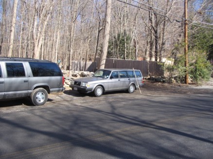
The parking area was easy to locate along Upper Shad Road, and looked like it could accommodate up to three or four cars. It looked as though you could pull into an area off the road, but there’s a gate that seems to belong to the adjacent house that you would be blocking. I was unsure, and there were no signs posted, so I parked on the pull-off just to be safe.
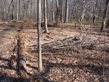
The trail starts off very easy, with wide, well-marked trails. There were piles of collected brush alongside the trail, which seemed strange to me, as if someone had been cleaning the woods. Maybe it’s for fire prevention.
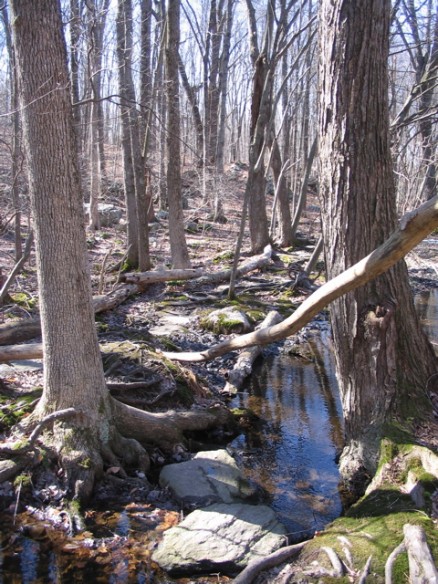
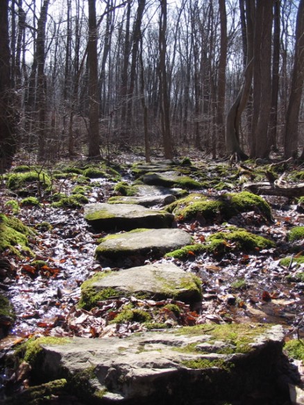
Soon after entering the preserve a marsh appears on your left. The trail then passes through the marsh over a series of rocks laid-out for easy passage, though the first bit might make a tough cross for some, the second area has a hand rail.
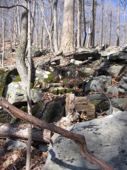
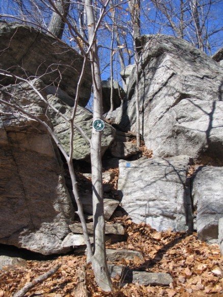
The path system is very well laid-out and takes some interesting twists and turns. A few times it followed a stream uphill, making it necessary to leap from one rock to the next. It didn’t feel dangerous, though I could see how some might not feel that comfortable. When in doubt, take it slow.
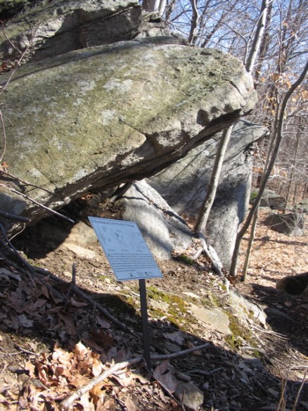
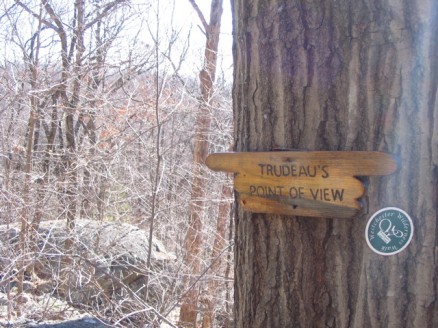
There are quite a few informational plaques placed throughout the preserve detailing natural and man-made elements. I found it very informative and interesting. I usually dislike intrusive non-natural things in a natural setting, but these were very welcome as their intention was truly to inform.
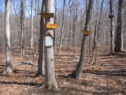
A nice feature of this trail system is that at every trail crossing is a map of the preserve. I’m sure it requires a little extra effort to maintain, but it takes away the need to stock the kiosk with printed maps. A nice touch, I thought, at least for this preserve.
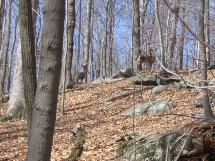
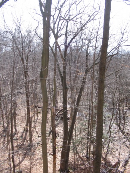
It was a beautiful day, and a very nice walk. I’ll leave you with some additional photos:
