Mountain Lakes Park, a 1,082 acre park that is in both North and South Salem, looked very promising to me as a place to pursue a couple of my outdoor interests: hiking and canoeing. There are five lakes that are available for canoeing and fishing, and ice skating in the winter, and many miles of trails. There are also various lean-tos and permanent camps, such as Camp Morty. It has a wide, well-graded road that runs straight through it from east to west, which I assume is used to access some of the more remote lean-to camping areas, but also connects some of the trails.
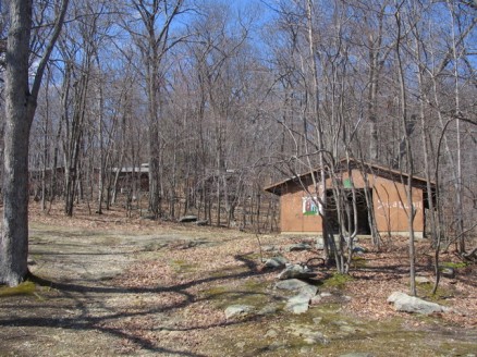
I said before that it looked promising, and what I mean by that is that when looking at the trail map I saw a large network of trails that looped around some lakes. What I found was a very well used park — which is a good thing — and a very poorly marked and maintained trail system. No privately owned boats are allowed either, though you can rent canoes and rowboats. It seems that the focus of this park is the residential camps, and as a result the trail system takes a back seat. This is understandable as the camp facilities is what brings in the money. However, quite a few of the older permanent camps were in pretty poor condition, and yet they were building new ones in what appeared to be a pretty extensive development. I would think that if they have money to build new facilities, they would funnel some money towards trail maintenance. Maybe they have and it just hasn’t been done yet. Anyhow, back to the hike…
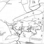
There are a few different places to park to access the trails. You can drive into the park itself and park in many of the various parking places, or there’s a pull-out on Hawley Road half way between Route 121 and the entrance to the park. This is where I parked. I had grabbed a map from trails.com, as well as the above map, because the map on trails.com was a bit more clear and had colors listed for trail markers (I recently found a much more detailed trail map with much more info. Download it here.). The above map only has numbers. The map from trails.com is from the book Best Hikes With Dogs: New York City & Beyond, which gives a well-defined loop and description. I’ve picked up maps from this guide before, like for Hand Park/Bald Mountain.
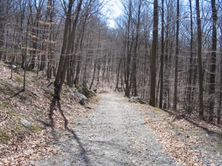
I did the loop suggested in the Best Hikes With Dogs guide, as it said it was just over 5 miles, and I wanted to get some exercise. For a mile and a half, or so, the trail follows the road that intersects the park. Not the most exciting thing, to be walking on a road, but it was ok.
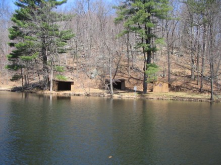
After an uphill climb you reach the Pine Lakes, and a causeway that divides them. There is a group of lean-tos across the causeway, with a fire ring at the center. Depending on whether this road gets a lot of traffic, it would be a nice place for an easy group camp.
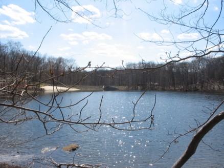
These lean-tos are on the smaller of the Pine Lakes, and to the south of the causeway is the larger finger-shaped lake, that also has some lean-tos on its shore.
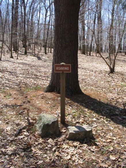
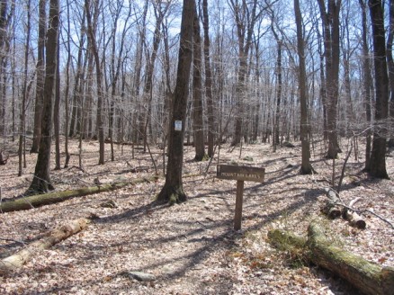
I came across this sign, and didn’t have any idea of what it was. After getting home and finding the more detailed map I realized that it’s a tent-camping area. You wouldn’t know by just seeing the sign. It’s a bit obscure.
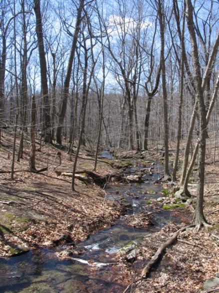
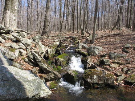
There’s a lot of water in this park, and lots of streams and vernal pools that feed the lakes. This stream had some falls, that were located down the hill.
I almost missed the turnoff for the Red-Orange trail, as the trail markers were pretty far back from the road, and there was no direction indication.
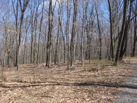
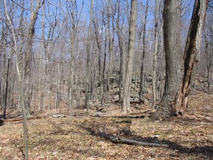
Once on the Red-Orange trail things got much more interesting, as I was no longer on the road, but on a nice trail that wound around some old pastures with some great rock features.
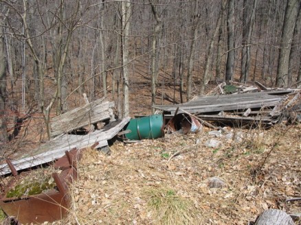
Unfortunately, the park has chosen a site back here off the Yellow trail and Orange-White trail (road) to use as a dumping ground. You can see it clearly from the trail. The remains of cut trees is fine, but there is building material and old appliances, as well.
Trying to switch from the Yellow trail to the Orange-White trail wasn’t as easy as it should be. The Yellow trail ends on a road, and directly across the road is a trail, blazed with white paint. I took this trail because I saw this sign:
The smaller sign, posted on the tree states that this is Ridgefield Open Space Association land. I just looked into it, and Ridgefield, CT, supports a large amount of open space. One more area to explore! Their website has a catalog of their open spaces and trails, but doesn’t show where they are, exactly. A “Walkbook” is available for purchase at the Conservation Commission office.
So, I followed the white-blazed trail for a while, and came across some lean-tos and an open field with a picnic area. I rechecked my map, and the way the trail was heading just didn’t make sense, so I backtracked to the road, startling a pair of Pileated Woodpeckers. An awesome sight, as they are really big birds, and fairly rare.
Back on the road I spotted Orange-White blazes up the road. Grumble. So, I headed in the direction that made sense from my map: due south. After follwing the road for a while, I came to a junction. I knew I had to split off onto the Red-White trail somewhere around there, but there were no blazes or markings at all. I just followed the road for a bit more, then spotted some red and white blazes off to the right. Must be it!
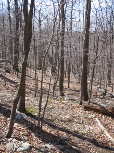
The Red-White trail was fairly well blazed, but the trail was almost impossible to see. I’m guessing it doesn’t get a lot of traffic. I don’t have a problem with trails that are not obvious, as it makes it a bit more challenging, but someone who isn’t comfortable with their navigational skills might not enjoy it so much.
All was fine until I reached Hemlock Lake where I was supposed to pick up the Red trail that encircles the lake.
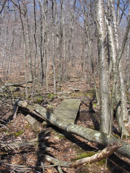
The Red-White blazes just kind of dissappeared, so I picked a line and walked toward the lake thinking I would eventually hit the Red trail. I did. I took a right and followed the blazes, and shoreline, over heavily rooted and marshy land. There was some boardwalk laid over the wettest areas, but they were in pretty bad disrepair. Thankfully I’m up to date with my tetanus shot.
On the north side of the lake are some camps, and an arts pavillion of sorts. I stopped here to have my lunch at a picnic table. There was quite a bit of graffiti and some broken alcohol bottles. I guess it’s an attractive place to local teenagers.
After coming to the other side of the lake I was supposed to pick up the Red-Green trail that would take me to Spruce Lake. I walked up and down the road and saw no blazes for the Red-Green trail, so I decided to follow the most obvious landmark that led to the lake. A stream.
The terrain was pretty easy and there was no underbrush, so it was easy to bushwack to Spruce Lake. I found the Green trail at the lakes edge and circled the north end of the lake easily. The lake looked to be about 4 feet below it’s normal height, and I couldn’t guess why. There was obvious and strong water flowing into the lake from a few streams. Maybe there’s some use for the water locally. Not sure.
The rest of the hike was fairly uneventful, except that I had to walk through the new construction site to access the Blue-White trail that would take me back to the parking area. When saying hello to a couple of guys working on a building, one responded very curtly and said that I shouldn’t be back there and didn’t I see the sign. I guess since I had come in on a trail, and not the road, I had missed the sign. After a short exchange, his partner said I should continue along, “in peace.” As if I had been the antagonizer. Hmmm… I continued along the Blue-White trail which followed the larger Pine Lake and connected to the original road I came in on.
Hopefully Mountain Lakes Park will do some work on their trails as it is an attractive park for hiking, except for the dump, and gruff contractors. I can imagine it to be very crowded in the busy season, with families and children running around. Might be better to stick to the off season.
